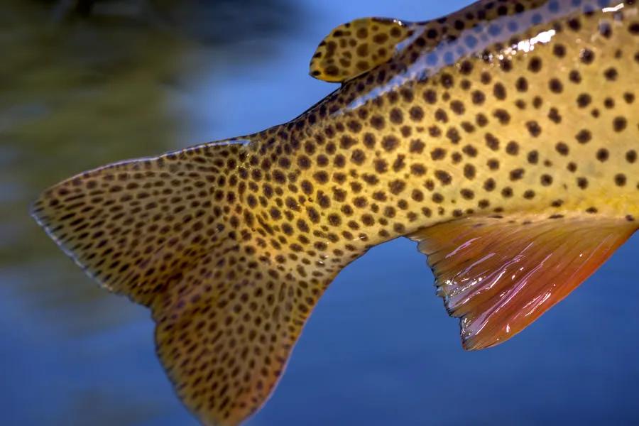
Located 15 miles south of the entrance to Glacier National Park from Highway 2, Hungry Horse Reservoir is a 34 mile long reservoir noted more for its water recreation sports than for fishing. Nonetheless, anglers targeting smaller cutthroats in secluded bays with beautiful beaches and stunning scenery do well from May until October. Bull trout can not be targeted and must be released if caught. Whitefish is the other species found in the reservoir. The South Fork of the Flathead drainage and Hungry Horse Reservoir is one of the few watersheds in Montana where healthy populations of Bull trout and Westslope cutthroats exist without the threat of non-native trout species.
Two roads encircle the reservoir and lead to Spotted Bear Ranger Station and the trailhead to the South Fork of the Flathead River in the Bob Marshall Wilderness. Road #895 follows the west side of the reservoir and passes over Hungry Horse Dam. The first eleven miles to the Lid Creek Campground is paved. On the eastern side of the reservoir, Road #38 is also a primary road leading to Spotted Bear. No gas is available after you leave the town of Hungry Horse.
The reservoir offers 10 boat ramps scattered around the reservoir. The longest ramp on the east side for draw-downs of 130 feet is the Abbot Bay Launch. The west side provides a boat launch for a 73-foot draw-down at Lost Johnny Point. Fourteen campgrounds ring the reservoir, along with many undeveloped, dispersed campsites. (See Access Points below map.)
For more information call the Hungry Horse District Office at (406) 387-3800.
Access Points and Campgrounds / West Side
Mileage Distance for the Westside Road
MM 0: Hungry Horse Dam.
Doris Boat Landing . Located eight miles from the dam, the Doris Boat Landing is reached by a paved road.
MM 5: Lost Johnny Campground. Five campsites, water, toilets, limited space for large trailers or RVs. Fee area.
MM 5.6: Lost Johnny Point Campground. 21 campsites, water, trailer space for 26-foot camper trailers, concrete launch site to 45-foot drawdown. Fee area.
MM 8.3: Lid Creek Campground. 23 campsites, toilets, concrete boat ramp serving full pool to 31-foot drawdown. Fee area.
MM 19: Lakeview Campground. Five campsites, no water.
MM 28.9: Graves Bay Campground. 10 campsites, no water.
Graves Creek may be accessed along the road to Handkerchief Lake and above the lake and then by trail into the Jewell Basin. The creek fishes well for 8- to 10-inch cutthroats.
MM 28.9: Handkerchief Lake Campground. 32 acres. Handkerchief Lake can be reached within a couple hundred yards of the campground. Fishing is good for cutthroats and grayling. This is also one of the access trailheads for the Jewell Basin.
MM 55: Spotted Bear Campground. 13 campsites, toilets, water, RV dump facility. Just short of the campground is an access road for launching rafts, although during mid-summer plan on carrying your boat about 40 yards over rocks.
Beaver Creek Campground. 9.4 miles above the ranger station on Spotted Bear Road. Three sites, outhouses, loading ramp, feed bunks for horses.
Mileage Distance for the East Side Road of Hungry Horse Reservoir to the South Fork of the Flathead.
MM 0: Martin City.
MM 5: Emery Bay Campground. 26 campsites, toilets, water, concrete boat ramp serving full pool to 35 foot. Fee area.
MM 22.2: Murray Bay Campground . 18 campsites, water, toilets, boat ramp to drawdown level 20 feet.
MM 37.4: Devil's Corkscrew Campground. Four campsites, toilets, cement boat ramp.
MM 42.2: Peters Creek Campground. Six campsites, toilets, no water.
MM 46.8: Cross Over Campground

