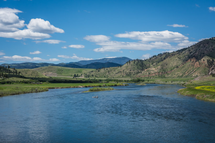
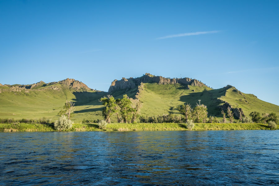
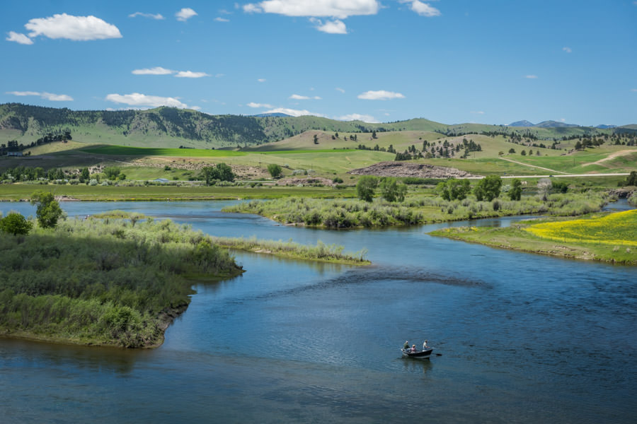
Missouri River - The Three Forks Area to Helena
To reach the upper Missouri River from Three Forks to Great Falls, take Exit 278 from Interstate 90 to Highway 287. The mileage from Three Forks to Townsend is 31 miles, and it is 65 miles to Helena. The information covering the Upper Missouri River Basin follows Highway 287 north to Helena and then Interstate 15 from Helena to Great Falls.
The Missouri River provided a corridor of trade amongst the indigenous tribes along its 2,466-mile journey to the Mississippi River. Later, trappers, traders, gold seekers and settlers would follow this river thoroughfare to the gates of the Rocky Mountains and to the present-day town of Three Forks, where the Missouri is formed. From the days of the Lewis and Clark Expedition to the mid 1900s, the mighty Missouri River shifted and changed channels. Many of the original campsites of the Lewis and Clark Expedition are miles from the present riverbed. The Missouri River claimed many steamships as they plied their way up the river as far as Fort Benton. During the Depression, taming nearly 2,500 miles of the Missouri challenged the Corp of Engineers to safeguard against flooding and provide safer passage for boats plying the lower river.
The Fort Peck Dam and Reservoir, the second-largest earth-filled dam in the world, commenced construction in 1933 and was completed in 1941. The 250-foot earthen dam, with a mile-long spillway, generates 185,000 kilowatts of electricity per year. At peak performance the generating plant discharges up to 250,000 cubic feet of water per second. Just a few years after its completion, the next ambitious project for the Army Corps of Engineers was the Canyon Ferry Project.
The Bureau of Reclamation's Canyon Ferry Project, authorized by Congress under the Flood Control Act of 1944, was completed in 1954. The snow pack drainage area covers 15,760 square miles. Canyon Ferry catches the annual spring runoff to prevent flooding downstream, generating 425 million kilowatts hours annually, as well as providing irrigation water and recreational opportunities. The concrete dam is 225 feet high and 1,000 feet long at its crest. The U.S. Army Corp of Engineers estimates that the project has prevented $93 million in flood damages from 1950 to 1996. The first and smallest of the dams is Toston Dam, which is a large diversion dam 20 miles north of Three Forks. The next downstream dam is the Canyon Ferry Dam, followed by Hauser Dam and then Holter Dam.
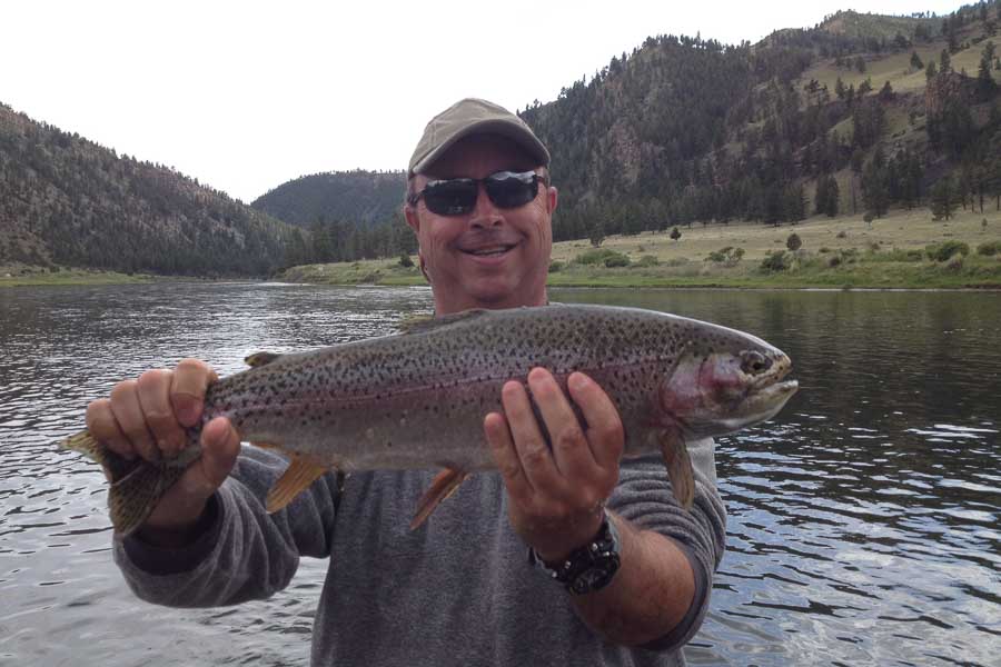
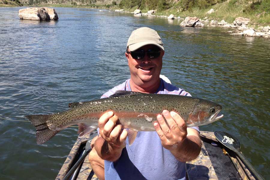
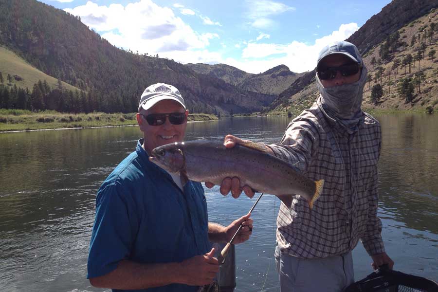
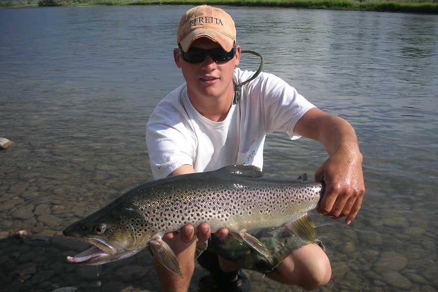
For opponents of the damn Corps of Engineers, one only has to look to the Big Horn River and the Missouri to be reminded that cooler water in the summer and controlled flows in the spring provide great trout fishing opportunities. The added benefits of the upper Missouri system of reservoirs is the spring migratory spawning runs of rainbows in the 6-to10-pound class, along with the fall browns, which exceed this weight. From each impoundment, huge trout head upriver looking for spawning beds between dams. Few places in Montana offer the fly fisher such opportunities for trophy-sized trout as the upper Missouri River.
Holter Dam (Wolf Creek) to Craig to Cascade
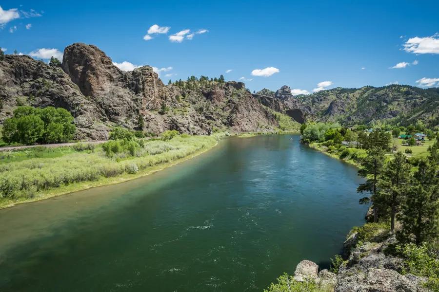
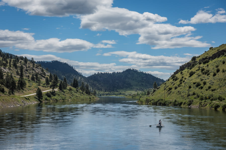
State fish biologists sadly noted the presence of whirling disease in 1999 on this most famous stretch of the Missouri River. Since other areas of the state have not been decimated like the Madison River debacle, devotees have taken a wait-and-see attitude. Typical catches range from 10 to 16-inches, although 16- to 18-inch trout are not un-common. During the spring when the dam spills over the top, still-water fish drop over to visit their river cousins, and local anglers congregate in large numbers to greet both of them. From Holter Dam the river freely courses its way 90 miles to Great Falls. The best blue-ribbon trout fishing is found between the dam and the town of Cascade. Punctuated by few riffles, the river is wide and flat and holds an abundance of rainbows and smaller numbers of browns. The water slows as it nears the Smith River, and the river loses both clarity and riffles. Trout populations plummet from this point downstream.
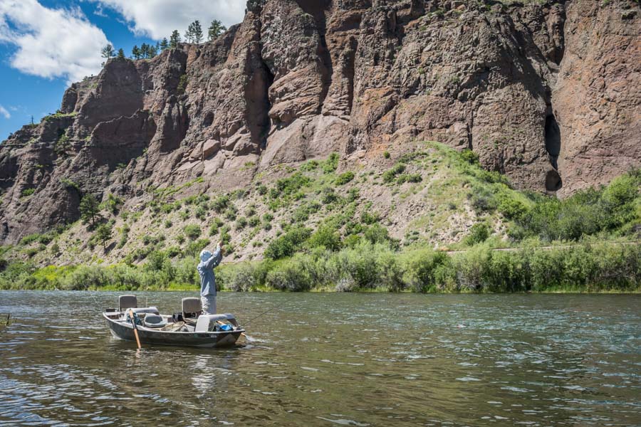
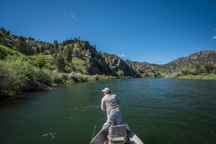
From personal experience, I would have to say the Missouri River challenges first-time visitors a great deal more than other famous rivers in Montana. Float fisherman will have the greatest advantage due to the sheer size of the river. Fish the scum-lines in backwater eddies, weed beds and the tail-end of islands. Pods of trout will follow these shifting scum lines, which channel the bugs in a large rotation. Sometimes a raft or a drift boat will actually depress or break up these slow patches of foam and disperse the feeding trout. Look ahead and see if it is possible to drop anchor or beach your boat. Start with the tail end of the foam and work your way forward. Look carefully for noses and the tops of dorsal fins. Lunkers like these Lazy-Susan luncheons. During early summer don’t hesitate to try smaller attractor patterns such as a Royal Wulff, a yellow Humpy or a Renegade during the evening hours.
Known for its prolific hatches, the early season is best fished with Wooly Buggers until the arrival of the Baetis hatch in April and May. Baetis like the slower water in the weed beds along the banks and will typically emerge during midday with an evening spinner fall. Stick to a size 18. When I have to scale down to a size 20 Blue-Wing Olive, I instead switch to a size 20 Parachute Adams. Following on the heels of the Baetis hatch, as is typical of most Montana rivers, is the arrival of caddis followed by PMDs. These two hatches are the most important summer hatches followed by the appearance of Tricos in the latter stages of summer, which emerge in the morning with the spinner fall typically an hour or two later between 8 and 10 am.
As is typical in most flat-water rivers, long leaders and small tippets prevail, along with sighs of disappointment when a fat rainbow pops off in the deceptively strong cur-rent. During the dog days of summer, hoppers and droppers work best, although I must confess that I personally search out other waters during those blistering hot days. With the arrival of fall, the Baetis re-emerge along with the tactic of tossing wooly buggers and streamers.
In his excellent book, Flyfisher’s Guide to Montana, Greg Thomas reminds visitors that the vagaries of fishing the Missouri are most often attributed to water releases. A rapid raising of water level alters the feeding response of trout, which leaves them sulky for a day or two. The same is true on free-flowing rivers and streams. When the water crests and then drops gradually for a day or two, the fish go into a feeding frenzy. Thomas reports that the best flows for float fishing range from 5,500 cubic feet per second to 8,000 cfs, which is about four to five miles an hour. To optimize your fishing chances, he recommends calling one of the local fly shops for up-to-date information.
Contact Montana Angler Fly Fishing for information on guided trips and lodges on the Missouri River
River description by David Archer
Side Trips
Side Trips
Missouri Headwaters State Park
Three miles east of Three Forks, the park is open year-round and offers 20 campsites for both tents and trailers. Water, toilets, hiking trails and a rough boat launch are also available. Three Forks KOA Kampground is a few miles south of Three Forks on the road to Ennis. Drouillard Campground and boat ramp on the Jefferson River provides a primitive campground or resting spot just off Interstate 90. Take Highway 287 south for one mile and make a left turn heading east to Three Forks, which is three miles. The campground is less than a half-mile and is to the left as you cross the Jefferson River.
Canyon Ferry Lake Recreation Area
Canyon Ferry Lake offers 13 campgrounds and nine day-use-only sites. Half of the campgrounds are fee areas, which provide water, toilets, tables, grills and boat ramps. All of the campgrounds are on a first-come basis. Three of the campgrounds offer group-use sites. Most of the campgrounds are accessible from Highway 12 / 287, the main route to Helena. If you are a tent camper, head towards the dam and turn south on West Shore Drive, one mile past Yacht Basin Marina, to Fish Hawk Campground, which is restricted to tents only and offers six sites, and more importantly, shade and toilets, although it lacks water. The eastern shoreline has four campgrounds evenly distributed (Jo Bonner, Hellgate, Goose Bay and Confederate). Follow the East Shoreline Drive, which may be reached off Highway 12 just outside of Townsend or the Highway 284 cut-off towards Helena, or cross the dam and pick up the East Shore Drive by Chinamen's Gulch. Shade is scarce along the lake, but campers may find both shade and a little more tranquility at Jo Bonner Campground, which is just a few miles south of the dam on the East Shore Drive. The Bureau of Land Management has published an excel-lent map of the Canyon Ferry Lake Recreation Area. Write:
BLM
7661 Canyon Ferry Road
Helena, Montana 59602
For fishing licenses and up-to-date fishing information contact:
Yacht Basin Marina
3555 West Shore Drive
Helena, MT 59602
(406) 475-3440
Kim's Marina
8015 Canyon Ferry Road
Helena, MT 59602
(406) 475-3723
Goose Bay Marina
300 Goose Bay Road
Townsend, MT 59644
(406) 266-3645
Missouri River: Trident (Headwaters State Park) to Toston
One would only have to look down from a helicopter during spring and early summer to understand the powerful forces of spring run-off, which shapes the meandering channels each year. Once the Missouri is formed from the Jefferson, Madison and the Gallatin, the newly-formed river is big, flat and turbid. The riverbed, up to 100 yards wide in some places, is scoured each spring leaving be-hind bleached banks with few trees. Bank fishers at the headwaters are synonymous with bait fishers, and in truth, these leisurely, arm-chair fishermen pull in an occasionally large trout with their patience. For the summer fly fisher, however, thermal heating on the lower Madison coupled with the heat of summer in an arid area drives water temperatures to the critical low 70s. The area features dry hillsides with sparse junipers, eroded riverbanks and low vegetation. This seemingly barren stretch, however, does contain a healthy population of large rainbows and browns, as well as impressive numbers of whitefish, carp and rough fish. The problem, however, is that in proportion to its size, the trout get scattered over a large volume of water. In my mind, this is not a viable stretch of water for the one-time fisher wanting to fish Montana's mighty Missouri.
Missouri Headwaters State Park is reached from Exit 278 on Interstate 90 at Three Forks. The only public river access between the park and Toston Dam is the Fairweather fishing access in the Clarkston Valley, which is nestled between the Belt Mountains and the Elkhorn Mountains. The boat launch has been washed out at Fairweather. The water slams into a five-foot bank, making it next to impossible to stop and unload your craft. To reach this fishing access, drive by the Trident Plant at the end of the park, cross the railroad tracks and follow the county road 1.9 miles to where it forks to the left. From the Trident Plant to Fairweather Fishing Ac-cess is a distance of 11.3 miles. Norman Strung in his book, Fishing the Headwaters of the Missouri, recommends big streamers for the pools and deep holes. He also suggests trolling the streamers by casting upstream as you float downstream. At the same time twitch or jig the streamer with an upward motion of the rod tip. Launching from the boat ramp in the state park, the float time to Toston Dam is a long day with an early start, if you don't have an outboard to push you along. Toston Dam backs up water for almost five miles!
Most fishers fish deep with heavy spoons or Rapalas, streamers, night crawlers or sucker meat.
MM 90: Toston Dam
From Highway 287 look for the dirt access road on the eastern side of the highway. Follow the road five miles to Lower Toston Dam Recreation Site, which offers a boat ramp to the river, outhouses, and picnic tables. Above the dam is another boat ramp with a picnic facility. I feel it is only fair to say that this site is generally unattractive, but I am reminded that beauty is in the eyes of the be-holder. Just above the dam the Lewis and Clark Expedition camped on July 25, 1805. According to the historical marker, Lewis and Clark had been looking for this spot from the description given to them by the Mandans in North Dakota. The Indians had de-scribed significant landmarks and cliffs for the Little Gates of the Mountains, the second chain of Rocky Mountains that approach the river. The more notable Gates of the Rocky Mountains are located approximately 60 miles downstream.
Toston Dam to Townsend
Located about halfway between Three Forks and Canyon Ferry, the dam stops the fall spawning run of brown trout. This section is popular with anglers during the fall, but it is closed from March 1 to June 15 to protect the spring spawners. Some of the local sportsmen motor upriver from Toston Dam for a day of fishing and duck hunting (Blast and Cast). What the area lacks in numbers of fish is made up for in the solitude above the dam. Fishing from the Toston Dam to the bridge at Toston is popular with bank fishers and floaters. From Toston to the Deepdale Access, however, is restricted to float fishers, as the river flows through the scenic Toston Valley and heavily posted lands. This entire section of river offers broken water, riffles, runs and pools. Below the dam from Canyon Ferry to the Deepdale fishing access, large numbers of migrant browns make their runs and provide fall fishing for anglers seeking trophy sized trout.
MM 89: Crow Creek
The road leading to the fishable sections of Crow Creek is just across from the exit to the small community of Toston. Public fishing begins in the Helena National Forest above the town of Radersburg. Unlike western Montana, the up-per Missouri River does not offer an abundance of good fishing creeks. For this reason, Crow Creek, Beaver Creek and Little Prickly Pear Creek get fished fairly heavily during the summer. In spite of this pressure, Crow Creek offers good fishing for 7- to 10-inch rainbows and brookies, with the occasional fat rainbow.
MM 81.5: Deepdale Fishing Access
Deepdale provides a lovely campground under a canopy of cottonwoods. In addition to the campground, a cement boat launch is provided.
To access the Missouri River as it enters Canyon Ferry Reservoir in Townsend, look for the bridge crossing on High-way 287 after the intersection with Highway 12. This section may also be accessed at the Indian Road Campground or the Cottonwood Campground west of town. This section is popular for both the spring and fall spawning runs, but be sure to check the fishing regulations. During the heat of summer some of the trout at the southern end of Canyon Ferry move upriver to escape the thermal heating on this shallow section of the reservoir.
Deep Creek
From Townsend take Highway 12 east until the highway meets the creek as it drops down a steep canyon. The lower section flows through private property. The canyon section offers small pocket water for small rainbows and brook trout, but the highway is right next to the creek.
Canyon Ferry Reservoir
Although fly fishers have good fishing during the spring for rainbows around the marinas and campgrounds at the upper end of the lake, the lake is best fished from a boat for rainbow trout, brown trout, perch, ling and walleye. Late April through the month of May is generally considered the best fishing from shore and boat. Plentifully stocked each year and drawing anglers year-round, Canyon Ferry is one of the most heavily fished reservoirs in the region. During the summer months, when surface action slows, boating enthusiasts enjoy this 25-mile-long stretch of water, which includes an island offering overnight camping.
Canyon Ferry to Hauser Lake
From the base of the dam to Hauser Lake, a little more than a mile in length, boat fishers seek out good-sized rainbow trout from the comfort of their boats. This is big water. Holding large numbers of both resident and migratory trout, the area is heavily fished. Those fishers willing to face the blustery winds of fall may be rewarded with trophy-sized browns moving up from Hauser Lake. Hauser, like Canyon Ferry, offers year-round fishing with 3,700 acres of water.
MM 70: Silos Campground
One mile off the highway, look for pronghorn antelope grazing in the fields. In addition to the BLM public campground, campers may also camp and shop at the Silos Campground and Grocery, which also provides boat rentals.
White Earth Campground
Just a few miles north on Highway 287 is the White Earth Campground. Exit at Winston and take the Beaver Creek Road 5.5 miles to the lakeshore campground, which also offers a nice boat ramp.
MM 51.6: McClellan Creek
Folks, unless you have small children and you are visiting or live in the Helena area, pass this one up. It is a tiny creek that flows out of the mountains west of Helena to join Prickly Pear Creek just south of East Helena. Drive eight miles back into the mountains to reach public lands. The creek is small and produces very small brook trout and rainbows.
Helena, Prickly Pear Creek
Here is a little brushy creek outside of Helena, which offers both small trout and a few good-sized migratory trout. More aptly described as a "crick", this small body of water wanders out of the mountains sandwiched between Interstate 15 and old Highway 15 through mostly residential developments. Nonetheless, access is available in isolated spots from the old Highway 15 south of Montana City.
Eight inches deep and eight feet across during late summer, Prickly Pear Creek's best lower access is at Ash Grove Corridor. From Montana City, follow the road that crosses over Interstate 15. The road swings away from Interstate 15 following a narrow ravine east of the Interstate. Ash Grove corridor is a trashy, willow-lined section of the creek above the ARCO Plant property. The best fishing is from the mouth of McClellan to Ash Grove.
The road and creek continues down through the rolling hills to meet East Helena. This loop road exits right across from the Conoco gas station in East Helena. One of the state fish biologists that I spoke to told me that the creek has been losing ground on the numbers of migratory fish moving up the creek from Lake Helena, but the opportunity still exists for landing something much larger than a resident dink.
Helena-Area Mountain Lakes and Smaller Reservoirs
Spring Meadow Lake State Park
This park is located on the western edge of Helena and provides fun fishing for children, as well as offering swim-ming and wildlife viewing. The lake is encircled by a nature trail. The 30-acre spring-fed lake provides good fishing opportunities for perch, bass and rainbows. The lake is open to non-motorized boats only. Take Highway 12 west and turn north on Joslyn towards the Country Club.
Northern Pacific Reservoir (Quarry Pond)
From East Helena take McClellan Creek Road, which is the loop road to Montana City that joins Interstate 15. Look for the gravel road turn-off and procede another half-mile to this 15-acre reservoir, which lies close to Interstate 15. The reservoir offers good fishing for 7- to 10-inch rainbows.
Park Lake: A small three- to four-acre alpine lake, Park Lake is nestled in an alpine setting less than 15 miles from Helena. The lake fishes well for stocked rainbow trout in the 7- to 12-inch range, along with some fair-sized grayling. The lake is restricted to non-motorized watercraft and offers 22 camp sites. Travel south on Interstate 15 to the Clancy exit. Follow Lump Gulch Road (Forest Service Road #4009) to the lake.
Interstate 15 - Helena to Great Falls
Hauser Lake
From Interstate 15, 13 miles east of Helena, turn off on Exit 200 to Hauser Dam on Lincoln Road. Hauser Lake is a popular summer recreation lake. Just six miles down from Canyon Ferry Reservoir, this 3,700-acre lake offers good fishing for trout, kokanee, walleye and perch. The only campground on the lake is Black Sandy Beach Campground, and it should be considered a boater's campground. The campground offers 30 campsites, toilets and a boat launch. On the route to the dam, you will drive by Lake Helena. Lake Helena is a 2,100-acre Bureau of Reclamation reservoir. It is carp-infested, as well as holding tons of rough fish. It does have some numbers of rainbows, but local fishers generally shun this algae-infested impoundment. From the Interstate to Hauser Dam is 9.5 miles.
Trout Creek
Reached from Hauser Lake from the York Bridge crossing onto the York-Trout Creek Road, the creek passes by many new residential houses until the visiting angler reaches the canyon section. The creek offers fairly good fishing for both rainbows and brookies. The creek may also be reached by taking the York Road at the base of the Canyon Ferry Dam.
Holter Lake
Leave Interstate 15 at Exit 226 at Wolf Creek, which is about 28 miles north of Helena. Holter Lake, covering over 4,800 surface acres of water, winds its way a number of miles to the Gates of the Mountains and then beyond to Upper Holter Lake. The lake is best fished deep with trolling methods. Access to the lake for shore fishing is pro-vided by the Beartooth Road on the east side of the lake, which also provides campgrounds and boat launches. The section known as the Gates of the Mountains provides spectacular scenery of towering cliffs that rise above the water to merge with Montana's Big Sky. Upper Holter Lake may be reached from Exit 209. Holter Lake, considered the most scenic of the man-made lakes, is surrounded by the Beartooth Wildlife Management Area on the eastern side of the lake and the Sleeping Giant Wilderness Study Area on the western side of the lake.
Holter Lake provides three campgrounds on the Beartooth Road on the eastern side of the lake. The first of these campgrounds is Log Gulch Campground. The camp-ground offers 80 camping sites, the majority of which are most suited for tents. Many of the sites have shade and a swimming area.
Interstate 15 - Exit 226 (Wolf Creek): Little Prickly Pear Creek
In all of my forays to the Missouri River, I had never once stopped to fish the Little Prickly Pear Creek or read about it in the numerous fishing guide books that I have acquired through the years. Perhaps a few of my disappointing days on the Missouri could have been redeemed on this fine little creek. The creek is host to both migratory spawning rainbows and browns, along with a serious population of rattlesnakes. Sadly, the creek turned up its first reporting of whirling disease in 1999. The creek opens on the third Saturday in May and is good fishing for large rainbows returning to the river in the lower section from the town of Wolf Creek down to the river. Popular patterns for these spring spawners include Woolly Buggers, leech patterns and large Yuk Bugs. The creek is closed after Labor Day to protect brown trout spawning beds. Above the town of Wolf Creek, Little Prickly Pear Creek has fewer public access points as it moves through private land, except where it parallels Interstate 15. Fishing is generally considered good from the mouth of Canyon Creek to Sieben. Keep in mind, however, that permission is needed to fish private lands, and landowners no longer have to post their lands to warn against trespassing.
Canyon Creek
A tributary of Little Prickly Pear Creek, the creek may be accessed along Highway 200, the Lincoln Highway. Although small and running mostly through private property, the creek is good fishing for 7- to 9-inch rainbows hiding under the brushy overhangs. The creek enters Little Prickly Pear Creek five miles north of Marysville.
