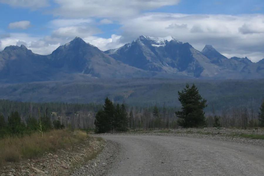
General location: The North Fork of the Flathead River serves as Glacier National Park's western boundary. The North Fork is 22 miles north of Columbia Falls, Montana.
Maps: USGS Glacier National Park (ISBN 0-607-32671-9); Montana Atlas and Gazetteer, p.83
Fishing conditions and species: bull trout, cutthroat, lake trout, rainbow trout, and whitefish
Special restrictions: If you fish the west bank, you will need a Montana license. Within the Park you must carry in your possession a copy of the regulations. Cutthroats are protected and must be released. Regional Forest Service info: (406) 387-3800
The North Fork originates in Canada, with the east shore being the border of Glacier National Park. Access for the wade fisher is somewhat limited as the road parallels the river high up the mountain sides in places. Wade fishers are limited to six public access points on the North Fork Road: Canadian Border, Ford, Polebridge, Big Creek, Glacier Rim and Blankenship Bridge. A few undeveloped sites offer ac-cess to the river as well. One such access point is at Moose Creek above Polebridge and at the bridge crossing for Coal Creek, which is 5.8 miles north of the Camas Creek Entrance. The Coal Banks offers primitive camping and a primitive boat launch.
Keep in mind, however, that access points on the North Fork may also be reached from the Inside North Fork Road inside the Park both above Polebridge and below it. Regardless of which road you select, plan on a bumpy, dusty slow ride north of the Camas Creek Entrance. Big Creek, a few miles from the Camas Creek Entrance, offers the only developed campground on the North Fork. The campground is a fee campground and includes a non-fee picnic site and a boat launch. The campground offers 22 campsites, toilets, water, an RV dump station and a swim-ming area. Inside the Park, the campgrounds at Quartz Creek and Logging Creek are a distance from the river.
Pick up the North Fork Road inside the Park at the Fish Creek Campground, which is 2.5 miles from the T-intersection at the Apgar Entrance. The Park's North Fork Road is "maintained in primitive condition" and the speed limit is 20 mph. Trailers and large RVs are discouraged from using the road. From Fish Creek Campground to Polebridge is 27 miles; Bowman Lake is 33 miles and Kintla Lake is 43 miles.
Although the North Fork is home to some huge bull trout on their spawning runs between July and October, the majority of the trout will be migratory cutthroats from 8 to 10-inches moving up and down the river between April and August.
The North Fork is heavily silted and appears more turquoise in color than the Middle Fork and the South Fork. To reach the North Fork, turn onto Nucleus Street in Columbia Falls. Follow the signs to Glacier National Park, a distance of 22 miles.
Access above the Park entrance is limited due to private property. The first float section is from the border to Ford Access, a distance of 14 miles with a Class II rating. From the Ford Access to Polebridge is 11 river miles and is rated Class II. From Polebridge to Big Creek is 18 miles and is rated as Class II. The next float, from Big Creek to Glacier Rim, is probably the most popular float among the local guides. It is 12 miles and is rated Class II and III. The last float, a short four miles, is from Glacier Rim to Blankenship Bridge and is Class I.
The Blankenship Bridge turn-off is before the Glacier Rim Access. The bridge is located just below the confluence of the North Fork and the Middle Fork. On one side of the bridge is a boat launch, and on the other side is a county non-fee campground. Blankenship Bridge may also be reached from Highway 2 above Coram. (Look for mileage marker 148. Take the second left after the marker (148.3). When you reach a hairpin turn, bear left and head down the mountain. From the highway to the bridge is 3.8 miles.)
River description by David Archer

