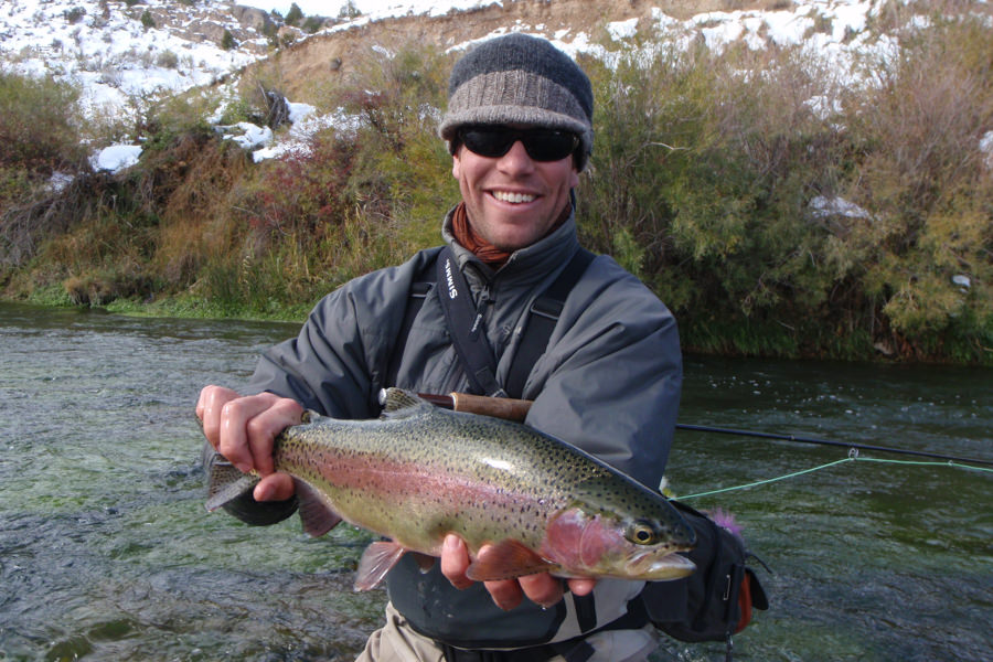
Prior to the completion of the Clark Canyon Dam in 1964, the Beaverhead River struggled to survive on low water years when entire sections would dry up. From the dam to Three Forks, where the Beaverhead, the Big Hole and the Ruby River meet to form the Jefferson River, the river stretches 69 miles. Fifty of these miles the river winds its way through an agricultural valley. Since the dam's completion, the Beaverhead has achieved worldwide fame as one of the best tail-water fisheries in the country. And for the record, this paradise is verifiably evident with biologists proclaiming record populations and record size browns from their shocking studies. Even to this day upper river rainbows average 17 inches with a sizable population of 20+ inch fish. Biologists report as many as 1900 fish per mile over 16 inches, along with 700 fish per mile in the 20+ range.
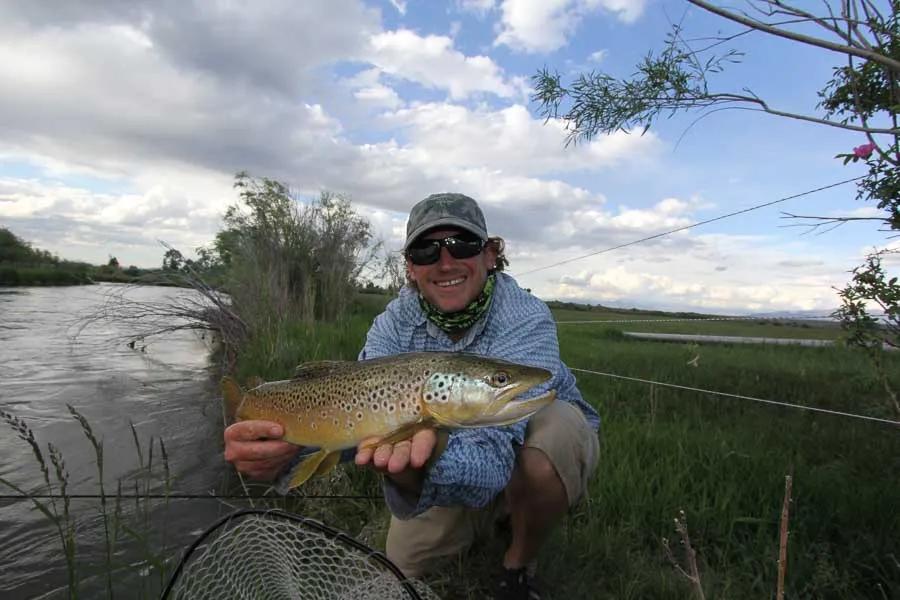
In the days when Blue Ribbon was bantered around so lightly, the Beaverhead studies reported astonishing numbers of trout per mile with browns waiting to enter the record books. Today the numbers are only slightly down due to Whirling Disease, and anglers truly have the opportunity to catch "Five-Pounders". No other river between Glacier and Yellowstone holds such promise for a catch-of-a-lifetime as this national treasure.
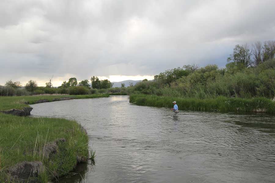
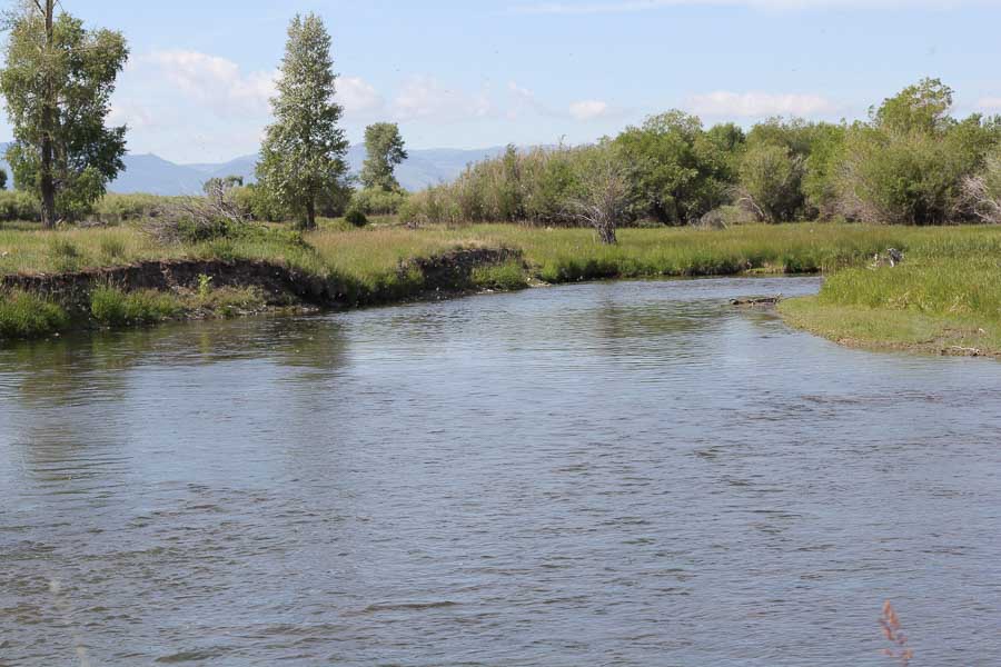
The Beaverhead hosts abundant insect life, half-submerged willows and a tailwater rich in nutrients. But by all standards this narrow river holds challenges for seasoned veterans. Yet each passing season innocents from abroad proudly photograph their rewards. From the Clark Canyon Reservoir to Dillon provides approximately 20 river miles of water racing past a double-wall barrier of thick willow, submerged obstacles, sweepers and undercut banks. Dangling willow arms greedily reach out to snatch your offerings, and weighted nymph patterns and buggers stumble through underwater deadfalls. Shooting past a target, he who hesitates is lost, and lost flies mount up as the day progresses. Typical flows in mid-summer on a high water year reach in excess of 1,000 cfs making it tough on both guides and clients.
The upper section from the dam to Barrett's Dam is the most famous stretch of water. Here wade fishers are even more challenged during high water releases. Optimum flows for floating this upper section are from 600 to 800 cfs. Compounding the aforementioned physical conditions is the simple fact that heightened pressure has produced some very educated browns. In recent years studies have shown an increase in angler days on the river in excess of 28,000 per season. With increased traffic on the river, new restrictions on outfitters and out-of-state float fishing parties have been instituted. Whereas in the past heavily weighted buggers with incredibly short and stout leaders was the preferred method, realistic nymph patterns properly presented prevail today.
Rather than be intimidated, however, relish the prospect of fishing over 300 trophy size browns per mile, but before you shove off in your kickboat, take a teaspoon of lowered expectations. If you can afford it, by all means hire a guide. During my last visit to the Beaverhead, I sat in my truck outside a shop in Dillon arranging notes and brochures. I heard two out-of-state visitors debating the merits of hiring a guide. Money wasn't even a consideration. The men had pulled a drift boat behind them from another state and felt sheepish about hiring a guide on that basis alone. Sitting in my truck, I couldn't pretend to be oblivious to their dilemma so I hopped out and approached them. Within 60 seconds they returned to the shop to book a trip. Here is an almost word-for-word argument I gave them.
"Excuse me. I couldn't help but overhear your conversation. I am a former guide from out of the area, and I can tell you without hesitation I dearly wish I could afford to higher a guide. If money isn't the issue consider this. Only one of you will be able to fish at a time while the other person is on the oars. That's half the day watching your buddy fish. You are going to be speeding down the river 5 to 6 miles per hour not knowing what lies around the next bend. Before you can even react, your going to blow through a good pocket that you could have got out of the boat and fished. Even if you are an experienced oarsman, you are going to miss a lot of prime water, and hopefully you will miss rapping the top of that boat of yours on a low bridge. Lastly, you will probably doggedly cling to a non-productive pattern in the absence of a "voice of authority."
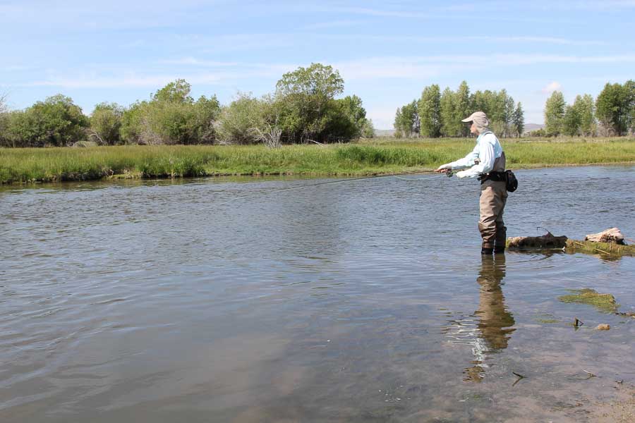
In the early spring season the preferred fly patterns are small mayflies, small yellow stoneflies and caddis. Keep in mind that the first stretch down to Grasshopper Creek Access remains clear coming out of the dam. Grasshopper Creek muddies the water during run-off and during heavy rains, but this section above provides clear opportunities, albeit a short distance of a little over ten miles. Early summer brings PMDs and then later tricos, but these hatches tend to be early and late in the day. The upper section lacks green pastureland for hoppers gradually working their way to the water's edge, but instead crane flies fill the void, and late summer and early fall find scattered hatches of Baetis. Throughout the river drainage, the Beaverhead is primarily known for fishing down and ugly versus sitting high and pretty. Floaters fishing below Dillon to Anderson Road will find conditions much better for dry fly fishing along with far fewer boats, and from Barrett's Bridge to the town of Dillon, wade fishers delight in catching smaller trout but in greater numbers.
Most voices of authority will concur that nymph fishing is the best tactic year round, unless you find yourself in the middle of a hatch. However, in the fall, anglers switch to streamer patterns. From late summer into the fall, the browns are staging to spawn, and the water level, often dropping to 300 cfs, affords more opportunity to slow drift and really target the best water. Browns aggressively defend their beds. Anglers must court disaster in casting next to undercut banks and then ripping the streamers across submerged entanglements. But it is not just the browns that are targeted. Rainbows stack up at the tail out of runs and pools waiting for floating eggs drifting up from a depression or run. Egg patterns and streamers work well for these opportunistic rainbows, as do Girdle Bugs and Yuk Bugs.
Recommended fly fishing lodge for the Beaverhead River: Healing Waters Lodge
River description by David Archer
Access
Access
Popular Sections and Access Points: The Beaverhead is easily accessed from Interstate 15 at Exit 44 at the dam; Exit 52 at Grasshopper Creek; Exit 59 with the junction to Highway 278 to Wisdom, and Exit 62 and 63 in the town of Dillon. For a quick preview of the river, follow the secondary road just past Poindexter Slough south of Dillon near the junction with Highway 278. This secondary road winds its way all the way up to the dam crossing the river and under the Interstate. At times it joins with old highway 91. In some places it looks like a private ranch road. Wade fishers can travel this road to hop out and fish, and floaters new to the river should follow the road to check out each of the access points.
Clark Canyon Dam or High Bridge to Grasshopper Creek Access or Barrett's Park:
Built in 1965, the base of the dam provides a launch site and a picnic spot along with a couple of camping sites. Less than a mile downstream, High Bridge offers an easier launch site. Wade fishers have a short stretch above and below the bridge to fish. This upper section is renown for its swift current and river bends. Henneberry Bridge is about six miles from the dam, and it too offers a good exit point or boat launch along with a picnic area. Henneberry Bridge is most easily found by following the secondary road south from Exit 52. Grasshopper Creek Access is the next access downstream, about ten miles from the dam. From Grasshopper Creek to Barrett's Park is the last floating stretch of the river. During high water the park take-out can be tricky as it is right in front of a low bridge, and there is no room for error. When you see the bridge, slip over and hug the left bank.
Tash to Cornell Park: Referred to as "Tash to Trash" by the local guides, the Tash access point is near the junction with Highway 278 by Poindexter Slough. A short float of about five miles, this popular evening float exits at the weir in Cornell Park in the town of Dillon not too far from the dump. To find Cornell Park follow North Montana Street past the museum and Depot until it comes to a T intersection. Turn west and follow the KOA signs. The park is about a half-mile further and offers a hand-launch site.
Cornell Park to Anderson Road: Be sure you take note of the low bridge and debris at the train trestle on Highway 91 at the north end of town. It could prove tricky during high water periods for a high bow drift boat. The exit point for this 12-14 mile float is Anderson Road, which may be reached at mile marker 7.4 north of Dillon on Highway 41 to Twin Bridges (28 miles from Dillon). The road is un-marked, but across the street is a ranch complex with silos. Turn west 1.3 miles. The access is small and next to a county bridge. Anderson Road may also be reached at mile marker 5.6 on Highway 91 north of town on the way to Butte.
Fly fishers visiting the Beaverhead River should also consider fishing Poindexter Slough for good catches of browns in a spring creek environment as well as Clark Canyon Reservoir which produces exceptionally large rainbows. Stocked in the lake in the spring at 4 inches, these Eagle Lake strain rainbows grow in excess of twelve inches the first year and easily reach 5-Pounder status in three years. Although popular with boat fishermen, the lake is likewise popular with float tubers searching out these lake lunkers.

