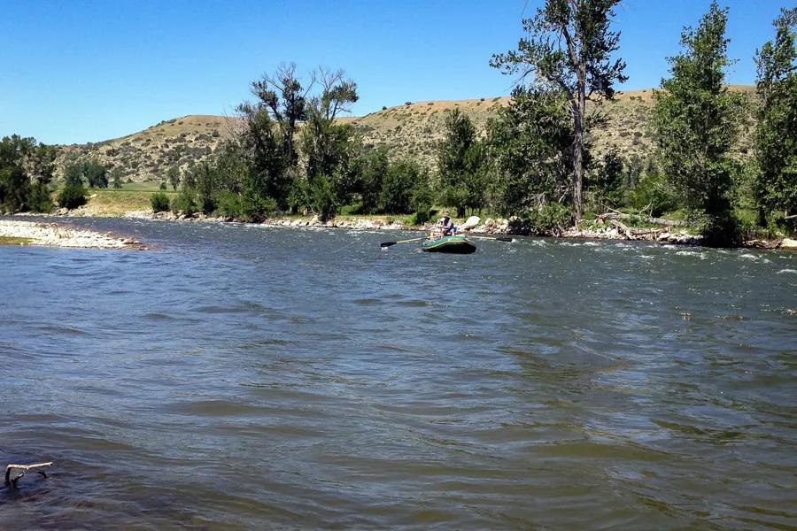
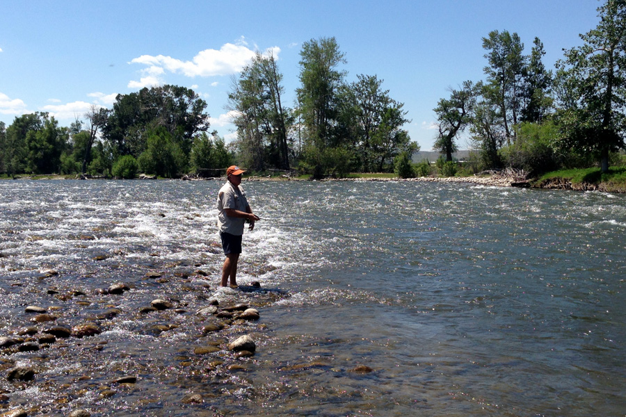
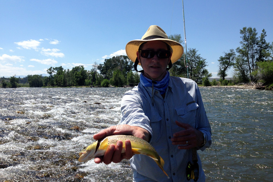
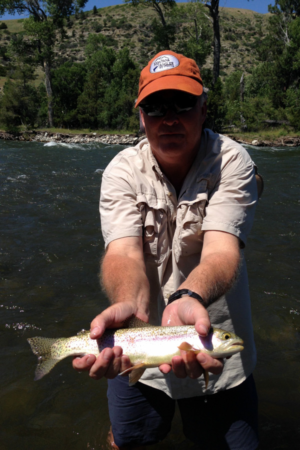
Every reference to the source of the Stillwater's name offers the same conjecture-how did it get its name? Some early explorer left his sense of humor inked on some early map. Like its cousin river in the next drainage, the Stillwater too has boulders and can be treacherous during spring run-off. Wade fishing this river is not for the faint of heart or old guys short on breath with weak knees. Float fishers beware! From the Castle Rock Access down to Cliff Swallow Access, the Stillwater River garners respect and awe from veteran kayakers. Whitewater rafters float from Cliff Swallow to the town of Columbus. So what does this river have to offer visiting anglers? The answer is spectacular scenery, high trout populations, and relatively low angling pressure. Although most of the river tumbles down through private property, public access is provided throughout its length.
The source of the Stillwater lies deep within the canyon walls of the Absaroka-Beartooth Wilderness at the northern edge of Yellowstone National Park. The trailhead is at Woodbine Campground. The wilderness section is not always easy to fish, but rainbows, cutthroats and brookies from 7 to 10-inches eagerly rise to large attractor patterns. Three and a half miles up the trail from Woodbine Campground, hikers will see a three-acre pond named Sioux Charley Lake. The "lake" is marshy in places, very shallow and is host to small brookies. In and around Woodbine Campground are a few protected spots for smaller trout, but the river is scoured and offers poor fishing prospects for the next three miles down to the mine.
The first public access after the mine is a picnic site. Floaters in late June will discover clear but cold water from the picnic site below the mine down to Moraine Fishing Access. Even this section has some tricky water that could spoil a float trip. After the Moraine Fishing Access, rafters should exit the remainder of the river. Keep in mind that a number of commercial whitewater companies ply their trade on the Stillwater from the Johnson Bridge just out-side the town of Absarokee down the river to Fireman's Point. By mid-summer the upper river and mid-section is too low to float. The advantage of this swift and tumbling river for the wade fisher is long stretches of fishing water without the intrusion of floaters, a rarity in Montana. The state of Montana offers a number of access sites beginning just outside the town of Columbus, where the Stillwater River enters the Yellowstone River.
Three tributaries in-crease the volume of water in the Stillwater River. The first is the West Fork of the Stillwater River near Nye. The second contributor is the West Rosebud Creek, which drains Mystic Lakes and enters the Stillwater, after first joining East Rosebud Creek, three miles south of Absarokee on Highway 78. During early summer both Rosebud Creeks are quite muddy. During this time, fishing is best above the Rosebud Creeks.
Recommended fly fishing lodge for targetting the Stillwater River: Boulder River Outpost
River description by David Archer
Access
Access
Columbus, Montana
The town site is right on the banks of the Yellowstone River. The city provides a spacious campground and boat launch at Itch-Kep-Pe, next to the Highway 78 bridge, less than a mile and a half from Interstate 90. The campground is shaded. The small town of Absarokee is 14 miles south on Highway 78 after crossing the bridge over the Yellow-stone River. For travelers heading to Yellowstone National Park who want fantastic scenery along the way, continue 47 miles through the town of Absarokee and follow the route to Red Lodge. From Red Lodge follow the spectacular Beartooth Highway to the Cooke City entrance to the Park.
Highway 78: Columbus to Absarokee
MM 3.3: Fireman's Point
Fireman's Point provides good access to a long stretch of river as well as a raft launch. The landing during high water is difficult, and rafts need to be dragged up a wood slide.
MM 7.3: Swinging Bridge Access. Camping is allowed.
MM7.8: White Bird Access. Camping is allowed.
MM 14: Absarokee. From the town of Absarokee the traveler has four roads to choose from, which lead to three separate fisheries. Continuing on Highway 78 leads to East Rosebud Lake. Or from Highway 78 south of Absarokee take Highway 425 to Rosebud Creek, Emerald Lake, and Mystic Lake.
The third choice is to take Highway 419 to the Buffalo Jump Bridge on the Stillwater River at the community of Nye. The fourth choice in roads is to take Highway 420, which parallels the Stillwater River to Nye. To think that Robert Frost struggled with only two choices in his poem, "The Road Not Taken"! Clearly, he was not a fly fisher, or he would surely have come back and taken the more traveled route as well!
Absarokee to Nye Along Highway 420 along the Stillwater River.
Just outside of Absarokee, make a right turn off Highway 420 to Absaroka Campground and the Johnson Bridge, which offers fishing access plus a raft launch. Continuing on Highway 420, the pavement peters out and the next access is Cliff Swallow Fishing Access, followed by Castle Rock Fishing Access and then Moraine Fishing Access. The Moraine Access is just a couple of miles from the Buffalo Jump Campground at the Nye Bridge. Just before you reach the junction of High-way 419 at the Nye Bridge, you will cross the West Fork of the Stillwater River.
Most of the West Fork travels through private property and is posted. The upper reaches in the wilderness section reportedly fish well for small rainbows and cutthroats. I am sorry but I completely missed this one. The easiest access looks to be from the Stillwater Mine. The road winds up above the mine and then drops over to the trailhead.
Absarokee to Nye along Highway 419
Take Highway 78 heading south from Absarokee to the junction with Highway 419. The road is paved all the way to Nye, but just after the community of Dean there are many annual potholes and breaks. Three miles from the junction with Highway 78 is Fish Tail and Rosebud Isle Fishing Access. Before reaching the community of Nye, travelers may stop at Dean, which offers a fly shop, a restaurant and a saloon. The road then crosses the river at Buffalo Jump Campground. Less than a mile from the bridge, Highway 420 joins Highway 419 right across from a restaurant. The next fishing access is the Old Nye Picnic Site just below the mine. The road then continues past the mine to the trailhead at Woodbine Campground.
Woodbine Campground is beautiful and offers 43 camp-sites, all of which have paved entries. Trailer spaces are pro-vided for trailers up to 30 feet. Concessionaire operated.
Absarokee to Emerald Lake and Mystic Lake
From the town of Absarokee, take Highway 420 to Fish Tail and Rosebud Isle. Turn left on Highway 425 (West Rosebud Road) to Mystic Lake. After traveling 6.6 miles to where the pavement ends, a sign reads: Pine Grove Campground nine miles, Emerald Lake 13 miles and Mystic Lake Trail-head 14 miles, which is the end of the road. Pine Grove Campground has 46 sites, many of which are suitable for trailers up to 30 feet. Fishing access and unimproved camping sites are available just past the campground.
Emerald Lake is a shallow 50-acre lake annually stocked with rainbows, most of which never see a second season. Mystic Lake is three miles from the trailhead. The lake is actually a Montana Power Company reservoir two miles long and a half-mile across. The lake offers good fishing at the inlet for 8- to 12-inch rainbows, a few lunkers and lots of smaller cutthroats. Island Lake is six miles from the trailhead, past Mystic Lake, and offers similar fishing. The Stillwater River above Island Lake reportedly fishes very well for rainbows and cutthroats.
Absarokee to East Rosebud Lake
From the town of Absarokee, take Highway 78 south 14 miles to the small town of Roscoe. Exit Highway 78 at Roscoe and take the East Rosebud River Road. The road is a dirt road; then at 8.2 miles the pavement starts again as the roads enters the National Forest. The entire area was ravaged by fire in 1996, but the surrounding rugged vistas, in spite of the fire, awe first-time visitors. East Rosebud Creek runs through private property until it enters the National Forest. The creek offers good fishing for small trout. The Lower Sand Dunes picnic site is at 9.2 miles and Upper Sand Dunes is at 9.5 miles from Roscoe.
At 11.9 miles the pavement ends, and the road is extremely bumpy. Although it is posted at 25 mph, the natural speed bumps keep travelers creeping along at 10 mph. East Rosebud Lake and Campground is 14.2 miles from Roscoe.
The lake is surrounded by private property established in 1894. The property owners provide a courtesy boat launch site for the general public. Be sure to check in at the store. The lake fishes well for 10- to 15-inch rainbows.
The trailhead parking area provides an area for stock. Popular with trail riders and hikers, the Absaroka-Beartooth Wilderness, established in 1978, covers 953,377 acres of pristine wilderness. For further information contact the Beartooth Ranger District Office in Red Lodge, Montana.
From the East Rosebud Trailhead the wilderness boundary is a half-mile, Elk Lake is 3.5 miles, Rim Rock Lake is six miles, Rainbow Lake is seven miles, and Lake of the Falls is nine miles. Elk Lake is a shallow 5-acre lake holding small brookies; Rim Rock Lake is eight acres and reportedly offers only fair fishing for 8- to 12-inch rainbows. Rainbow Lake is said to provide good fishing for 8- to 12-inch rain-bows.
Interstate 90 - Laurel to Red Lodge
Side Trip - Rock Creek and the Beartooth Highway
Described as one of the most spectacular and scenic high-ways in America, the Beartooth Highway from Red Lodge to the northeast entrance of Yellowstone National Park in Cooke City, Montana, offers both good fishing and stunning views. The 68-mile drive winds its way up from lush forest, through countless switchbacks to sub-alpine plateaus. Twenty-nine mountains thrust their jagged peaks into the Big Sky at elevations exceeding 12,000 feet. The highway enters Wyoming near the summit and re-enters Montana about seven miles outside of Cooke City.
From the summit visitors scan hundreds of lakes nestled in glacial carvings on the edges of plateaus and in hollowed amphitheaters. Many are barren, but surprising numbers hold hearty strains of golden trout and Yellowstone cut-throats. Summer does not linger in this country. Violent thunderstorms and plummeting temperatures can scurry visitors and photographers to the comfort of their vehicles anytime before the road closes for the winter.
Rock Creek, flowing past the town of Red Lodge, has its beginnings high up in the Absaroka-Beartooth Wilder-ness. Anglers and campers wishing to fish Rock Creek and Wyoming's waters on their way to Yellowstone National Park will find the easiest route off Interstate 90 at Laurel, Montana. Follow Highway 310 for 13.8 miles south to its junction with Highway 212 to Red Lodge. Highway 310 follows the general course of the Clarks Fork of the Yellowstone River, a river not worthy of fishing due to degradation, unless you are a local and have time to search out sections holding good-sized browns during the fall. From Laurel to Joliet the creek is without public access, but it is not considered a productive stretch.
From Joliet we begin our journey into one of Montana's jewels. Keep in mind that the mileage markers begin in Cooke City and increase in numbers towards Joliet.
MM 96: Joliet, Montana.
MM 90: Cooney Reservoir
Cooney Reservoir is a shallow lake best fished in the early morning hours. The lake offers a state fee campsite. The lake is 28,400 acre feet and provides fair fishing since its 1982 rehabilitation, but don't expect an alpine setting.
MM 82: Roberts, Montana.
MM 84.5: Rest Area
Rest area with public access to Rock Creek. Rock Creek suffers greatly during drought cycles and demands from irrigators. The creek is best fished during spring and fall.
MM 79: White Birch Fishing Access and Campground
MM 76: Fox/Bench Road Fishing Access.
Red Lodge, Montana
MM 60.7: Ratine Campground
Ratine Campground is eight miles south of Red Lodge. It has access to the creek and offers six sites, with a 16-feet trailer restriction.
MM 60: Pullout access to the creek.
Parkside Campground
Twelve miles south of Red Lodge, Parkside Campground has 28 campsites, a 32-feet trailer restriction. It is operated by a concessionaire, as is the neighboring campground Greenough Lake.
Greenough Lake Campground
Offering 18 sites with trailer spaces up to 30 feet, the camp-site has easy access to the creek plus a small pond, which is planted with fingerling trout.
Limber Pine Campground abuts Greenough Lake Camp-ground and has 13 campsites with a 32-feet trailer restriction. A bridge crosses Rock Creek to the Rock Creek Road, which continues a short distance to the M-K Camp-ground.
M-K Campground
A mile or so from Limber Pine Campground, M-K is a non-fee campground with no services. It offers 10 camp-sites with easy access to the creek. From the campground to the road's end at the trailhead to Glacier Lake, the going is slow and bumpy. For those of you who want secluded and primitive camping, a number of beautiful spots may be found ahead. However, the fishing high up in this canyon is only fair for small fry.
Glacier Lake
The trailhead to Glacier Lake is at the end of the Rock Creek Road, another three or four miles past M-K Campground. Glacier Lake is a deep, 150-acre lake and offers both beauty and good fishing for good-sized cutthroats. Fair warning, however, the one-mile hike is straight up!
MM 39.4: Wyoming Border, Shoshone National Forest
Heading down the highway to Cooke City, one will need a Wyoming fishing license. The first popular high-elevation lake is Long Lake, followed by Little Bear Lake and then Island Lake. Island Lake has a campground with a boat launch. It is stocked with rainbows and includes cutthroats and brookies that cruise the shoreline during late afternoon and evening. Just down from Island Lake is the Top of the World Store. The store sells Wyoming fishing licenses, gas, food, as well as renting some very rustic cabins. The next large lake accessible from the highway is Beartooth Lake, which offers camping, a boat launch and some very large lake trout in addition to rainbows and cutthroats. If you are heading for the Park or Cooke City, continue past the high-way junction to Cody, Wyoming. Highway 212 goes right past the upper Clarks Fork of the Yellowstone, which is a good fishing stream, a small part of which lies in Montana. In and around Cooke City are a number of campgrounds and trailheads to secluded lakes. This is beautiful country!
Return to Interstate 90 from Billings to Hardin.
