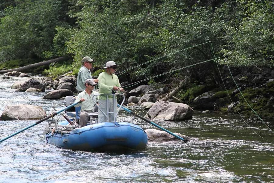
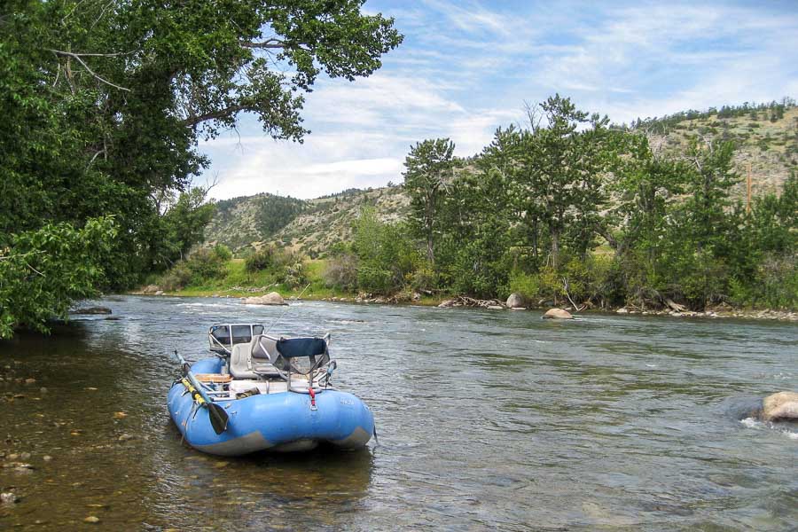
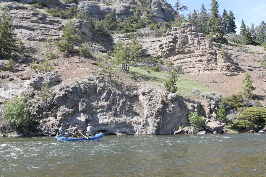
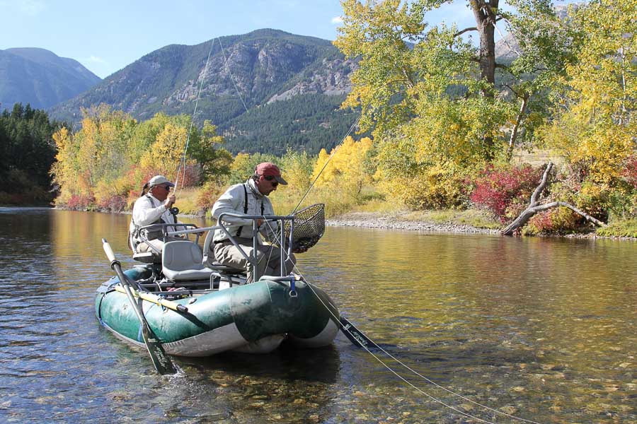
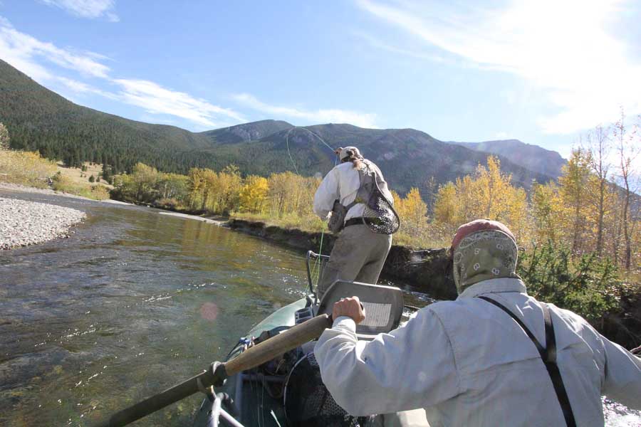
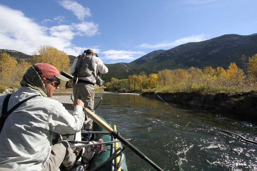
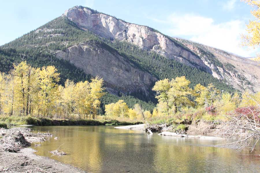
The Boulder River tumbles down three separate canyons of the Absaroka-Beartooth Wilderness, almost 50 miles to the town of Big Timber, where it enters the Yellowstone River. The water plummets down a fair gradient and averages 45 to 60 feet across. True to its name, the entire river is studded with large and small boulders. Wading can be difficult on the slippery rocks, but the rewards can be great. Both rainbows and browns move up from the Yellowstone to spawn, which provides some truly large lunkers for sure-footed waders who are smart enough to get out into the water. Resident trout in the lower river can reach 18 to 20-inches, while the rainbows and cutthroats in the National Forest section above the Natural Bridge State Monument typically run 10 to 14-inches.
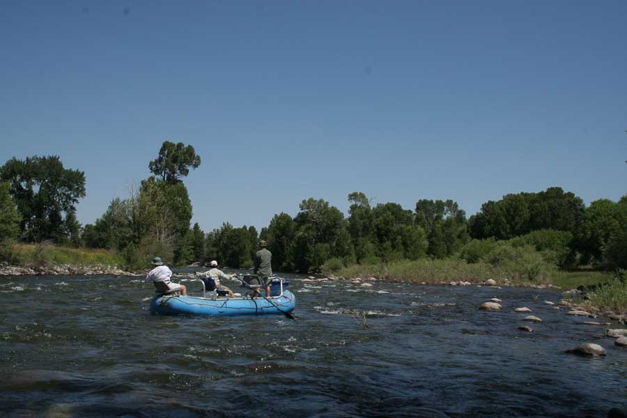
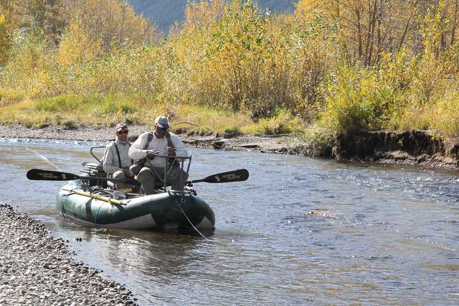
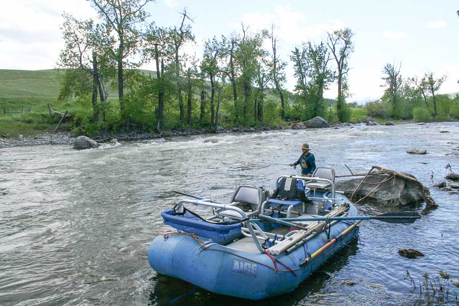
The Boulder River demands respect during spring run-off. It is not considered a float-fishing river. River runners should have a large raft or cataraft and be very experienced navigating white-water with little room for maneuverability. When the water drops in late July, it is impractical if not impossible to float through the miles of rock gardens.
Regardless of where you fish, the pocket water, fast chutes, short runs and broken riffles provide excellent fishing. Fish the river just as you would a large creek. Keep in mind that the fast riffles provide excellent lies and feeding zones for good-sized trout. The turbulence breaks just above the trout so they can rest comfortably on the bottom waiting for fast food deliveries. These fish are not picky. They have learned to be fast, grabbing opportunists. Use bead-head nymphs, a pinch of lead and a strike indicator. Fish upstream with short casts working each side of the boulder seams, as well as the pocket be-hind the boulder. Don't forget to fish directly in front of the boulder for typically smaller trout. Spin fishers should fish the water just like fly fishers. Keep the rod tip up and just let the lure tumble without snagging the bottom. Popular lures for all streams in Montana include small Panther Martins, Thomas Cyclones, Mepps, Kastmasters and Roostertails.
Fly pattern selections are typical of most cold water streams in Montana. Although the Boulder River has a Salmon Fly hatch, it is difficult to fish during late June. When the water becomes fishable, typically the first week of July, use standard dry fly patterns, heavy nymphs and watch for heavy caddis hatches in the evening. The Goddard Caddis works very well because of its exceptional floating quality. Hopper action is outstanding during the heat of summer. Be sure to put on a split-shot piece of lead and sink those hoppers in the pools, under bank cover and behind the boulders. Another effective technique is to use a greased Bailey's Muddler as a hopper pattern in the pocket water. If you don't catch a fish, let it sink and strip it in as a streamer.
Although it is true that much of the Boulder River is not accessible due to private landowners, some of whom are very rich and famous, the river can be accessed at county bridges and state access points. Don't even bother drooling over the only section offering large pools and long runs. This stretch of river is posted for miles, and conveniently for them, the river exits the canyon and the 70-foot falls. I looked for a trail down to the water, but it is an 80-foot straight drop to the tumbling water below. If you arrive during high water, be sure to fish above the falls in the National Forest section. Without the West Fork and the East Fork of the Boulder, the main stem above the falls fishes very well in late June using lures and weighted nymphs.
The East Fork is a small stream and offers a small campground and active mine traffic. The primary source of platinum and palladium metals in the United States, the 28-mile long ore deposit is mined 18,500 feet below the surface from the East Boulder River mine to the Stillwater River near Nye. Platinum is used in jewelry, electrical devices found in computers and in the catalysts on our cars and trucks. The Big Timber Pioneer in its 2001 summer edition reported that the price per ton of platinum "hovered around $570 per ounce while palladium prices were around $840 per ounce.... The East Fork mine expects to mine... 3,000 tons of ore per day to produce between 450,000 and 500,000 ounces of platinum and palladium a year." If you wonder where all the waste material goes, look at the remnant piles on both sides of the Stillwater River downstream from the trailhead.
Recommended fly fishing lodge for the Boulder River: Boulder River Outpost
River Description by David Archer
Access
Access
If you enter the town of Big Timber from Interstate 90 driving west, you will cross the Boulder River. Just across the bridge is the Old Boulder River Road, a dirt road that winds its way up the east side of the river for eight miles until it intersects with the county road at the Eightmile Bridge. Big Rock Fishing and Camping Access is 3.5 miles up Old Boulder Road. It offers great access to the river. It has no tables, but it does have a pit toilet facility.
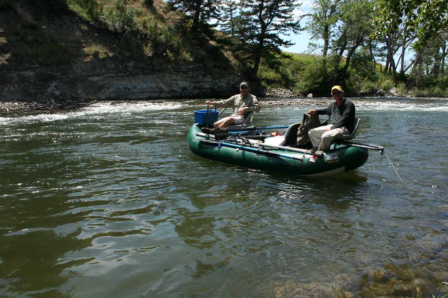
Those fishermen daring to float the lower river put in at Big Rock and float down to the city park or further on down to where the river enters the Yellowstone River. The takeout on the Yellowstone River is Otter Creek Access. From Big Timber take Highway 191 north to Harlowton. Turn right 1.4 miles on Howie Road. Go another 1.3 miles to the Otter Creek Access on the banks of the Yellowstone River. Otter Creek offers a boat launch, an outhouse and shade. If you plan on floating down to Otter Creek, the closest access is the Pelican Access (Grey Cliff Bridge) 11.3 miles upstream.
To reach the upper Boulder River from Big Timber, turn south on McLeod Street (pronounced McCloud). Follow Highway 298 south to public fishing on National Forest lands.
8 miles: The Eightmile County Bridge offers access as well as a 10-foot slide to the water's edge for rafters.
16 miles: West Boulder turnoff.
16.5 miles: Boulder Forks State Fishing Access
This access offers a primitive camping spot with shade, a short run of the West Fork and an easy launch on the Boulder River.
19.2 miles: East Boulder Road
Anglers can fish a small section of the East Fork and work their way down to the Boulder. Be sure to stay below the high water mark. I watched an angler land and release two nice trout not very far from the bridge during the fall.
25 miles: Natural Bridge Forest Service boundary.
Picnic area with scenic overlooks and paved trails.
30 miles: Falls Creek Campground
Eight sites. Tent camping only. Tent pads provided. Potable water. Pit toilets. Fire grates.
33 miles: Big Beaver Campground
Five sites. Tents and trailers. No tent pads. RV limit 32 feet. Fire grates. Pit toilets. Picnic tables. No potable water.
33.5 miles: Aspen Campground
Eight sites. Tents and trailers. Tent pads provided. RV limit 32 feet. Fire grates. Handicapped access toilets. Picnic tables. Potable water.
35 miles: Shipping Corral Picnic Site
Toilets. Picnic tables. Fire grates. Intended for day use only!
40.5 miles: Hell's Canyon Campground
11 sites. Tents and trailers. Tent pads provided. RV limit 16 feet. Not on the river but in walking distance. No potable water. Pit toilets.
42 miles: Lower Fourmile Dispersed Site
No sign. Four sites. No potable water. Pit toilet.
42.5 miles: Fourmile Guard Station
The cabin belongs to the Forest Service and is available for rent to the general public, 18 years of age or older, on a first-come, first-served basis. The Forest Service has priority use of the cabin at any time. Contact:
Big Timber Ranger District
P.O. Box 196
Big Timber, MT 59011
(406) 932-5155
46 miles: Hick's Park Campground
16 sites. Tents and trailers. Tent pads provided. RV limit 32 feet. In one area, two adjacent sites have three tables.
48 miles: Box Canyon End of maintained county road.
Interstate 90 - Columbus, Montana
