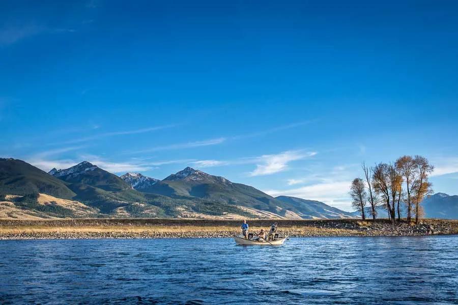
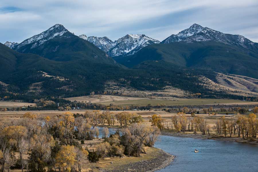
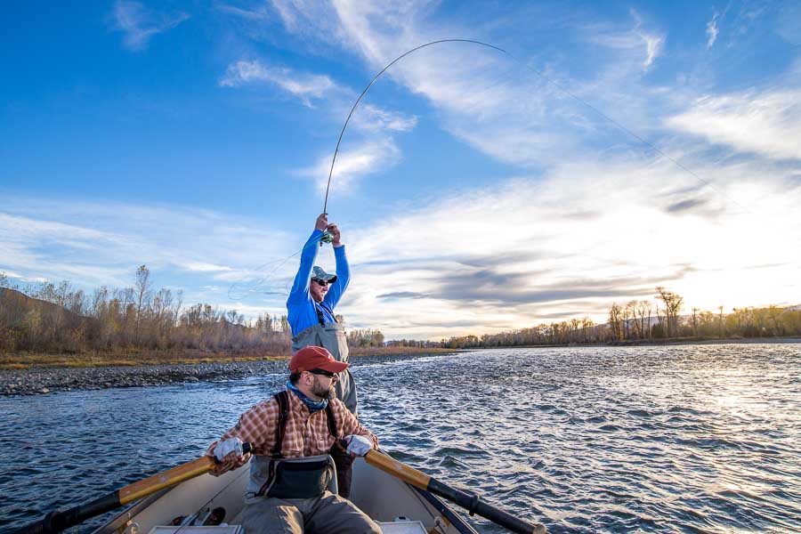
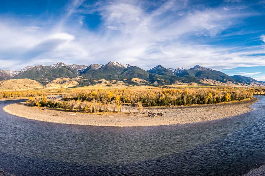
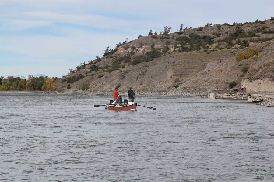
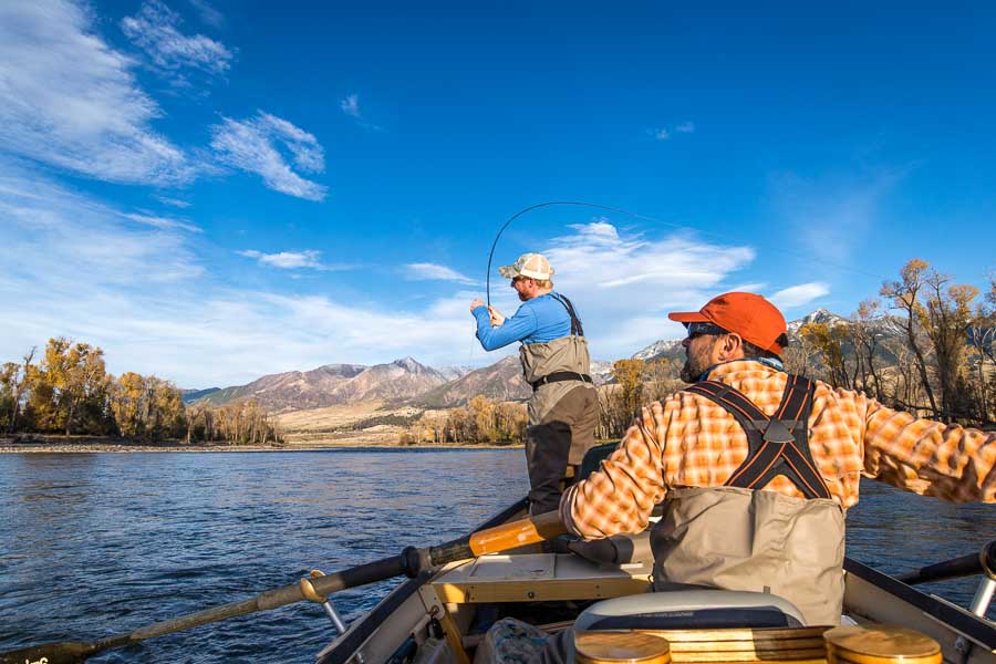
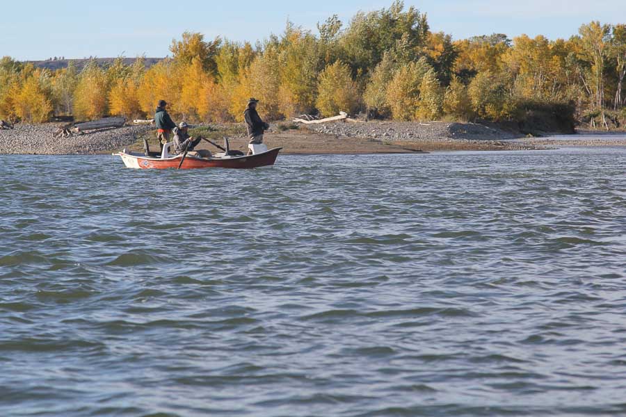
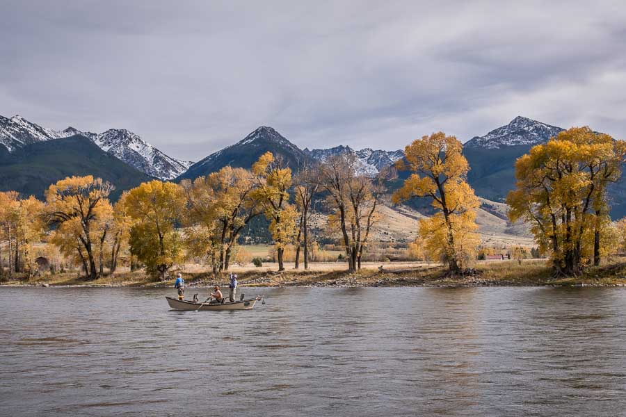
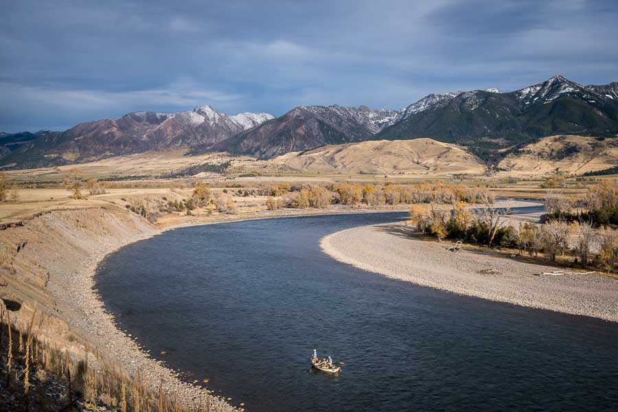
The legendary Yellowstone River inspires awe and reverence. From its source waters high in the Absaroka Mountains to its rendezvous with the Missouri River in North Dakota, the great Yellowstone River remains an uninterrupted, free-flowing river for over 600 miles. From its headwaters in the remote wilderness section of the Thorofare section of Yellowstone National Park, the river, more accurately described as a stream, flows northward to enter and exit Yellowstone Lake. Flowing under the park's Fishing Bridge, the Yellowstone River courses its way through Le Hardy Rapids, down through Buffalo Ford, until it plunges over the Upper and Lower Yellowstone Falls. From here the Yellowstone snakes its way through the Grand Canyon of the Yellowstone and into rugged terrain of the Black Canyon until it intersects the Lamar River. The river exits the Black Canyon and the park boundaries near Gardiner, Montana.
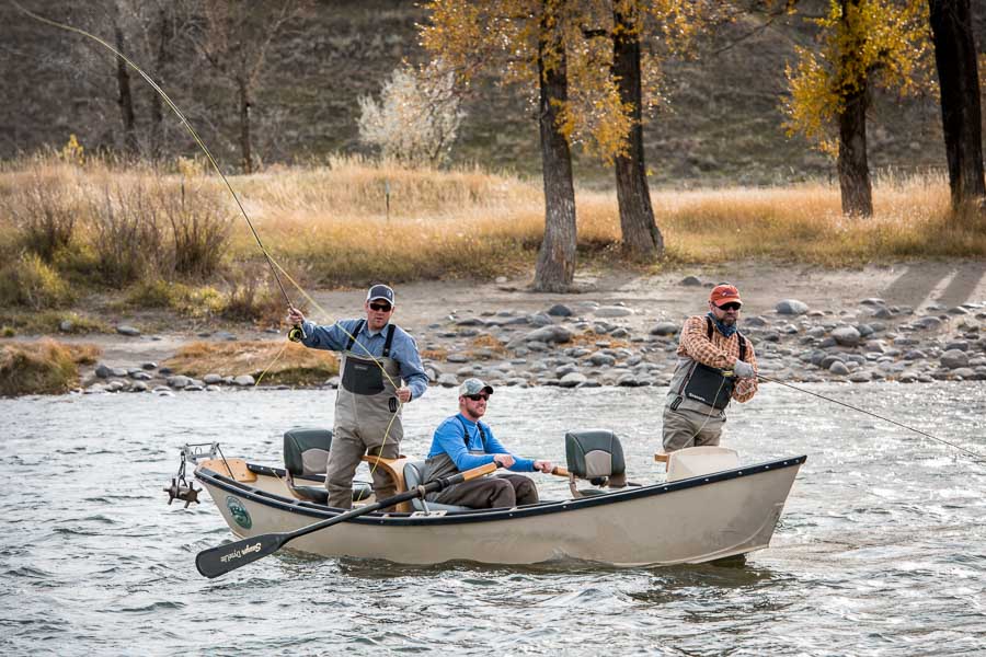
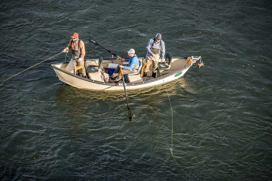
Below Livingston, the Yellowstone River offers excellent fishing to Big Timber. One disadvantage of this section is that the float fishing access points are further apart and access to the river is more restricted. For the most part, the Yellowstone River is an easily navigated river. However, the three-mile section of water from Gardner to McConnell Landing is a whitewater section, as is the section from Joe Brown to Yankee Jim Canyon. This section requires an experienced whitewater oarsman. From the East River Road to Livingston is relatively easier to float, although braided channels, sharp turns and sweepers require the usual vigilance. Livingston provides two take-outs, the 9th Street take-out and Mayor's Landing.
Access to the Yellowstone River
Yellowstone Lake to Buffalo Ford to Chittenden Bridge
From the closed section below Fishing Bridge to Sulphur Caldron offers one of the more productive sections on the river, and one of the more popular in terms of angling pressure. This seven-mile stretch lures visiting anglers with broad runs, riffles, deep pools and rapids. Wading can be difficult and treacherous in places so good wading boots and a wading staff are highly recommended. Buffalo Ford may be the only place to cross the river when the flow drops. No floating is allowed in the park. The Yellowstone River opens July 15, and generally good hatches of PMD's, and Green Drakes abound along with caddis hatches that are in full swing.
Below Sulpher Caldron to Alum Creek the river is closed to all angling for six miles. Alum Creek, Trout Creek and Elk Antler Creek are closed to fishing to protect spawning beds. Preserved in its wild state, this area draws wildlife observers and photographers. The next area to fish in this section is the two mile stretch between Chittenden Bridge and Alum Creek. Here the water is mostly flat and wide, although the current is swift as the water is drawn over Upper Falls. Fewer anglers work this water than the Buffalo stretch.
Upper and Lower Falls through the Grand Canyon Section
Accessible only by foot or by horseback, the canyon is a challenging section, albeit with potential rewards. Stretching from the Chittenden Bridge to Quartz Creek, anglers beware. The beauty of the canyon walls is awe inspiring, but the wading can be tough. One of the more frustrating challenges in the canyon is to work down to the water, have great fishing for fifty yards only to find that it is too dangerous to move any further upstream or downstream. The trail near Canyon Village is a 1500 vertical feet drop from the canyon rim to the water. When I was a younger man, I put off this trail. Now that I am on the downhill slope towards 70, I know that I shall never take a deep breath and head down this steep trail, but I am not sad because so much great fishing water is easily accessible.
Fishing is closed from Inspiration Point Overlook to the Chitteden Bridge.
Tower Junction Bridge through the Black Canyon of the Yellowstone to Gardiner:
The Black Canyon from Knowles Falls to the Rattlesnake Butte section above the town of Gardiner, provides almost twenty miles of good wilderness fishing and camping. This section may be reached from the Blacktail Trail, Yellowstone River Trail, the Garnet Hill Trail as well as the access trail at Tower Junction. The lower section may also be accessed from the town of Gardiner along the Yellowstone River Trail.
Gardiner to Corwin Springs
This section is swift for most of its run with some of the water rated class II and class III. It can be fishing by floating in a raft or by wading along the rocky banks.
Corwin Springs to Yankee Jim Canyon (Joe Brown Access)
Although this stretch flattens out and makes float fishing easier, it is essential that newcomers exit the river at the Joe Brown exit to avoid the treacherous Yankee Jim Canyon, a notorious white-water section.
Carbella (Tom Miner Bridge) to Emigrant
This is a long 16-mile stretch so depending on the river's flow, it can make for a long float. For a shorter float, anglers may exit at Point of Rocks, a 4.5-mile float trip. Eric Adam of Montana Fly Fishing Guides offers another take-out for intrepid floaters. "Floaters may continue downstream for another five miles to a take-out known only as 26 mile, so named as it is the closest mile marker on Route 89. The 26-mile take out is not an improved take-out and those planning on using it should have a high clearance vehicle and be adventurous, as well as physically capable to haul a boat out of this steep hole in the willows."
The upper section provides good fishing opportunities. Eric describes this section as offering a "steeper gradient with classic riffle, run and pool structure common to many western rivers. From Point of Rocks downstream the river flattens out substantially. While it is a slower stretch of water, it produces good numbers of cutthroat trout on dry flies. This section also has several side channels, which depending on water level, can offer good wade fishing. Floaters should be aware that about 3 miles below the 26-mile access there is a diversion channel located on river left. A warning sign is present at the head of the channel. Wade fishing the channel is an option, but boats cannot make it through the diversion."
Emigrant to Mallard's Rest
Noted for its increased flow and numerous riffles, this is a popular section, and the float trip ends at a great campground. Floaters may launch at the Emigrant Bridge, which is steep and narrow, or they may wade fish at Emigrant West or Grey Owl.
December to March: Sporadic midge hatches
April - June: Baetis mayfly, March brown drake
May (run-off period): March brown drake
June: Salmonfly nymphs stir and begin their migration to the shore.
July: Salmonfly, golden stones, yellow sallys, caddis and green drakes
August and September: Terrestrials
October-November: Baetis, midges
Guided Fishing Trips on the Yellowstone River
River description by David Archer
Access
Access
Highway Access from Livingston to Gardiner
MM=Mileage marker signs
MM 60: Livingston, Montana
MM 51: East River Road Fishing Access
MM 50: Carter Bridge: Carter Bridge has a good boat take-out and is a good spot for wade fishermen.
MM 45: Trail Creek fishing access
MM 43.3: Pine Creek: Take the Pine Creek road 1.4 miles to the bridge fishing access and boat launch.
Note: From Carter Bridge to just above Point of Rocks, the East River Road parallels the river. The East River Road has Loch Levin Campground. Loch Levin is 9 miles south of Livingston. Take the Pine Creek Road and head south again to the campground. Loch Levin Campground has 30 campsites, water, toilets and a boat launch.
Mill Creek
Cross the bridge and follow the paved road for six miles and then a dirt road for another 7.4 miles to a private meadow. Although the meadow is on private property, this section may be accessed later in the summer from the highway about a hundred yards downstream. Look for a pullout. Follow the fence line to public access to the water on National Forest land. However, be sure you stay under the high water mark at all times. The meadow gets fished heavily. Snowbank Campground is a fee campground with plenty of shade and garbage removal. Above the campground are some primitive campsites. The water is icy cold above the meadow section and interspersed with a lot of private property. Late in the summer small parachute hoppers work best.
East Fork of Mill Creek
Although the East Fork is small and shallow, small pockets and riffles offer up good catches of 8- to 10-inch cutthroats. It is a great creek for kids. The access road ends a mile and a half at a locked gate to a private ranch. The ranch can be bypassed by trail, but I did not have time to explore it.
West Fork of Mill Creek
The West Fork road cuts right through a Bible camp and climbs high up into a steep canyon. The creek is fast moving, but it does hold some nice pools and pockets in the canyon section. The road ends 5.8 miles at the trailhead. I walked down into the canyon, but the going is tough due to downed trees from the 1988 fire. The creek is loaded with 5- to 9-inch cutthroats, but it is also loaded with mosquitoes.
Dailey Lake
Dailey Lake may be reached from the Mill Creek Road or from Emigrant. From Emigrant to the lake is eight miles. The lake is shaped like a silver dollar, and it is shallow all around the shoreline. Although the lake holds some trout, most of the locals fish for perch and walleye.
MM 25.5: Fishing access.
MM 24: Big Creek. Don't judge this creek when you pass over it on the highway. Big Creek fishing access is 5.5 miles from the highway and six miles to the trailhead. The road is bumpy, but the creek is charming and host to 7- to 9-inch cutthroats, which are plentiful.
yrd-bigcreek-181.jpg
MM 23.8: Meditation Point. Here is a rest area and picnic site large enough for the largest RVs with good fishing access to the river.
MM 21: Tom Miner Creek. Tom Miner Creek provides a nice campground 11 miles from the highway, but it is too small to be worth fishing. The scenic drive is beautiful as the road winds through open parks and aspen shaded hillsides.
MM 21: Point of Rocks. Point of Rocks has a boat launch.
MM 19.7: East River Road.
MM 18: Carbella Campground. Carbella is an unimproved campground one mile west of the Tom Miner Bridge. It has five campsites.
MM 13: Yankee Jim fishing access. Just upstream from Yankee Jim is the Slip and Slide access, but you will need to carry your boat to the water's edge.
MM 7.1: Corwin Springs Boat Launch. From the boat launch, visitors may take the dirt road that parallels the Yellowstone River on the western side. The road winds above the river for eight miles. It provides a few access points down to the river and passes a few primitive campsites.
MM 6.3: LaDuke Spring picnic site.
MM 3: McConnell Landing.
MM 0: Gardiner, Montana.
